Super El Niño Risk: Pacific Warming Signals Extreme Weather Ahead
 May, 23 2026
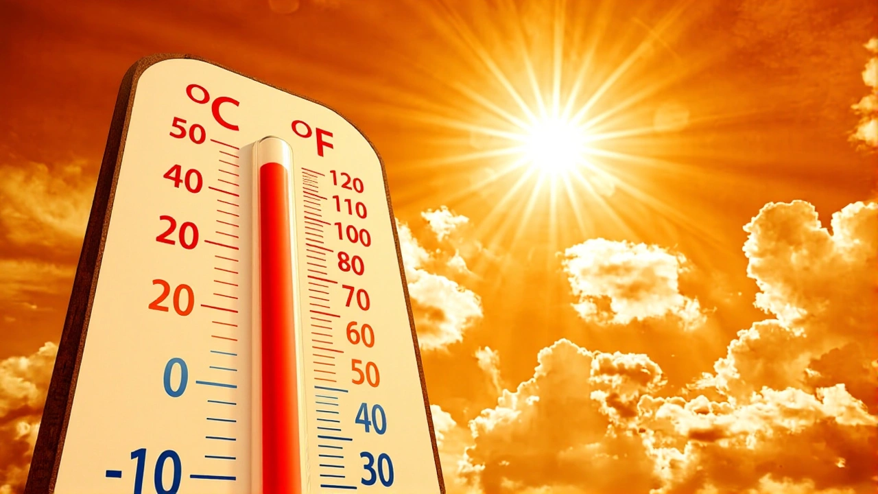
When National Oceanic and Atmospheric Administration (NOAA) scientists announced an 80% probability of El Niño conditions developing by July, the message was clear: the Pacific Ocean is heating up, and it’s not just a mild warm-up. We’re looking at the potential for a “super El Niño,” a rare and powerful climate event that could trigger catastrophic heat waves and floods across the globe. The stakes? Higher than ever before.
The twist is that this isn’t happening in isolation. It’s unfolding against a backdrop of rising global temperatures, meaning the impacts won’t look like the El Niños of the past. They’ll be hotter, wetter, and more destructive. Here’s what you need to know about why meteorologists are watching the equatorial Pacific with bated breath.
What Is a Super El Niño?
To understand the fear, you have to understand the scale. A standard El Niño occurs when sea surface temperatures in the equatorial Pacific rise above normal levels. But a “super El Niño” is different. Scientists define it as an event where those temperatures spike more than 2 °C (3.6 °F) above the climatological average.
Think of it like a pressure cooker. When the water gets that hot, it doesn’t just steam; it explodes. Historically, these high-amplitude events have been linked to some of the most severe weather patterns on record. We’re talking about the kind of atmospheric chaos that disrupts jet streams, alters rainfall patterns from coast to coast, and leaves billions of dollars in damage in its wake.
The term itself has roots in history. “El Niño” means “Little Boy” in Spanish, named by Peruvian fishermen who noticed the warm current arriving around Christmas time. But today’s version isn’t just a seasonal curiosity—it’s a global weather driver.
The Science Behind the Shift
Under normal conditions, trade winds blow westward along the equator, pushing warm surface water toward Asia. This allows cold, nutrient-rich water to rise to the surface near South America—a process called upwelling. It’s a delicate balance.
During an El Niño, those trade winds weaken or even reverse. The warm water sloshes back east, toward the Americas. This shift pushes the Pacific jet stream south of its usual position. For us in the Northern Hemisphere, that means a drastic redistribution of weather:
- Northern US and Canada: Expect drier, warmer conditions. Drought risks increase significantly.
- Gulf Coast and Southeast US: Brace for heavier-than-normal rainfall and increased flood risk.
- Tropical Pacific: Intense storm activity and disrupted marine ecosystems.
Conversely, its opposite phase, La Niña (“Little Girl”), strengthens trade winds and brings cooler waters to the east, often leading to drought in the southern US and heavy rain in the Pacific Northwest. The transition between these phases is part of the El Niño–Southern Oscillation (ENSO) cycle, which typically lasts nine to twelve months but can persist for years.
Climate Change Amplifies the Threat
Here’s the thing that keeps climate experts awake at night: the baseline has changed. According to the World Meteorological Organization (WMO), emerging evidence suggests that human-driven climate change is increasing the odds of stronger El Niño and La Niña events.
The Water Resources Research Center at the University of Arizona highlights this critical point. Global warming isn’t just raising average temperatures; it’s modifying the characteristics of ENSO events themselves. Imagine adding fuel to a fire that’s already burning hot. A super El Niño occurring in a warmer world will produce higher absolute temperature extremes and more intense precipitation events than we’ve seen in historical records.
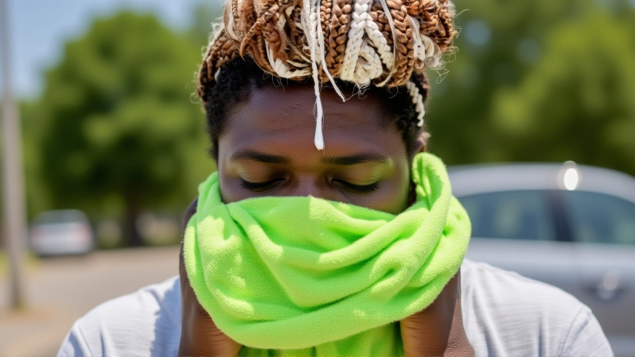
This means the “normal” impacts of El Niño—like dry winters in the north or wet springs in the south—are being amplified. Floods become flashier. Heat waves become deadlier. The margin for error shrinks.
Current Status and What’s Next
So, where do we stand right now? NOAA recently issued a final advisory noting that the tropical Pacific had shifted from a brief La Niña phase into ENSO-neutral conditions. This neutral state is expected to persist through the Northern Hemisphere summer and likely into the fall. During neutral periods, there’s no strong ENSO signal influencing the atmosphere, making seasonal predictions trickier.
But the clock is ticking. With an 80% chance of El Niño developing by July, forecasters are closely monitoring sea surface temperatures. If the anomaly exceeds that 2 °C threshold, we’re officially in super El Niño territory. The key question isn’t just if it happens, but how strong it gets. Will it remain moderate, or will it intensify into a historic event?
The implications are immediate. Farmers in the Midwest may face unusual planting conditions. Emergency managers in the Southeast need to prepare for potential flooding. And everywhere, energy grids must brace for increased demand during unexpected heat spikes.
Frequently Asked Questions
How does a super El Niño differ from a regular El Niño?
A super El Niño is defined by sea surface temperatures in the equatorial Pacific rising more than 2 °C above normal, whereas a regular El Niño involves smaller anomalies. This extra heat intensity leads to more extreme global weather patterns, including stronger jet stream shifts, more severe heat waves, and heavier rainfall events compared to typical El Niño years.
When is the predicted El Niño expected to peak?
NOAA forecasts an 80% probability that El Niño conditions will develop by July. While the exact peak timing varies, El Niño events typically last between nine and twelve months. If it develops in July, the strongest impacts are often felt during the following winter and spring months as the atmospheric circulation fully adjusts.
How will climate change affect this upcoming El Niño?
The World Meteorological Organization states that climate change is increasing the likelihood of stronger El Niño and La Niña events. Because the planet’s baseline temperature is higher, any additional warming from El Niño results in more extreme heat and intensified hydrological cycles, leading to more severe droughts, floods, and storms than in previous decades.
Which regions are most at risk from a super El Niño?
In North America, the northern United States and Canada typically face drier, warmer conditions with heightened drought risk. Meanwhile, the Gulf Coast and Southeastern US usually experience wetter-than-normal conditions with increased flooding. Globally, regions dependent on stable monsoon patterns, such as parts of Asia and Australia, often see significant disruptions to agriculture and water supplies.